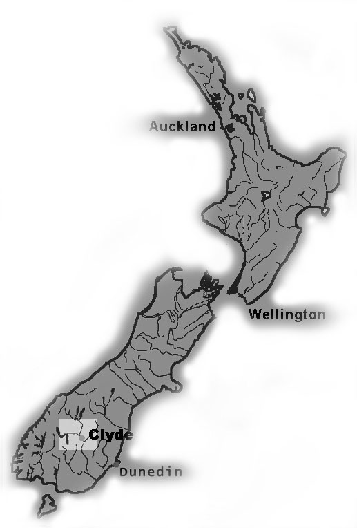
The Last Rivers Song is a photographic project by Lloyd Godman, based on the Clutha and Kawarau Rivers before the filling of the high dam at Clyde
the project was made up of two components: large composite photo murals up to 20ft long and smaller photo - panels. The work was followed up with 2 performance works 10 years later during the filling of the hydro lake.
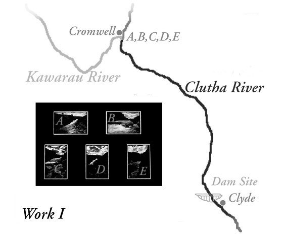
Location Map - Click on photo panel sections A- B - C - D - E - to enlarge details
|
Location Map - Click on photo panel sections A- B - C - D - E - to enlarge details
|
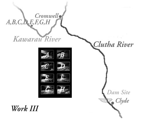
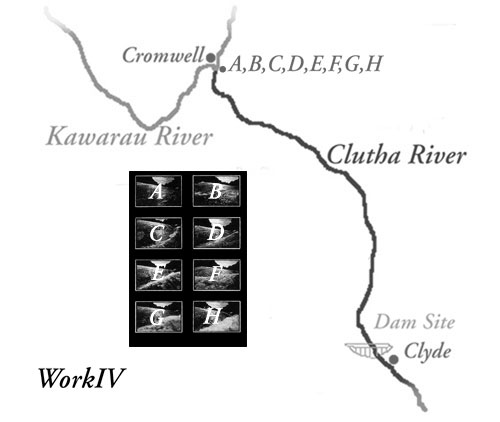
Location Map - Click on photo panel sections A- B - C - D - E - F - G - H - to enlarge details
|
 Location Map - Click on photo panel sections A- B - C - D - E - F - G - H - to enlarge details
|
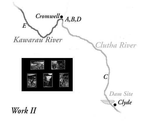
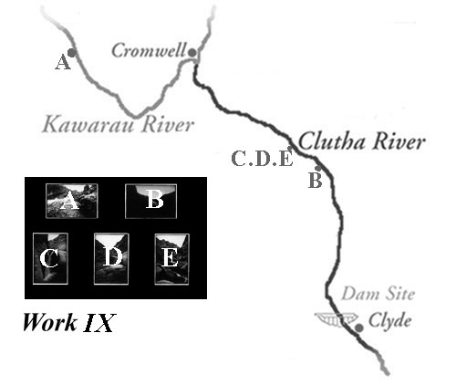
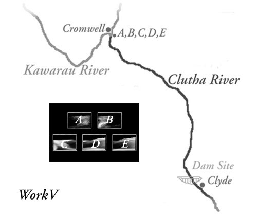 Location Map - Click on photo panel sections A- B - C - D - E - to enlarge details
|
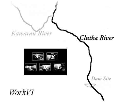 Location Map - Click on photo panel sections A- B - C - D - E - to enlarge details Location Map - Click on photo panel sections A- B - C - D - E - to enlarge details
|
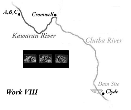
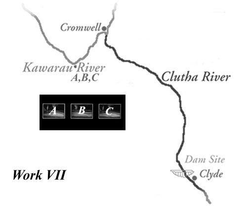 Location Map - Click on photo panel sections A- B - C - to enlarge details
|
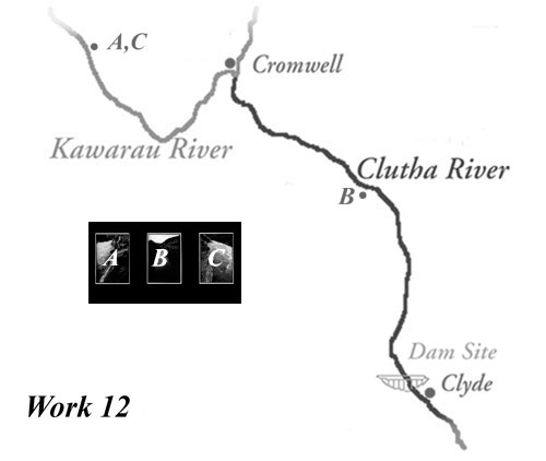
 Location Map - Click on photo panel sections A- B - C - to enlarge details
|
 Location Map - Click on photo panel sections A- B - C - D - E - to enlarge details Location Map - Click on photo panel sections A- B - C - D - E - to enlarge details
|
 Location Map - Click on photo panel sections A- B - C - D - E - F - to enlarge details Location Map - Click on photo panel sections A- B - C - D - E - F - to enlarge details
|
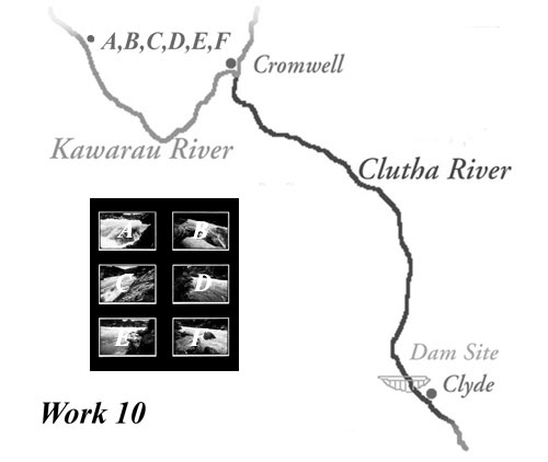
 Location Map - Click on photo panel sections A- B - C - D - E - F - to enlarge details
|
 Location Map - Click on photo panel sections A- B - C - - to enlarge details
|
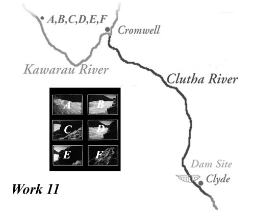
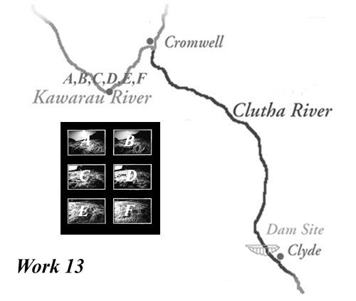 Location Map - Click on photo panel sections A- B - C - D - E - F - to enlarge details
|
|